
Leading provider of industrial waste management services in Victoria.
CSA Specialised Services
Head office: 7 Pascal Road, Seaford, VIC 3198 - Campbellfield Depot: 144 Northbourne Road, Campbellfield, VIC 3061
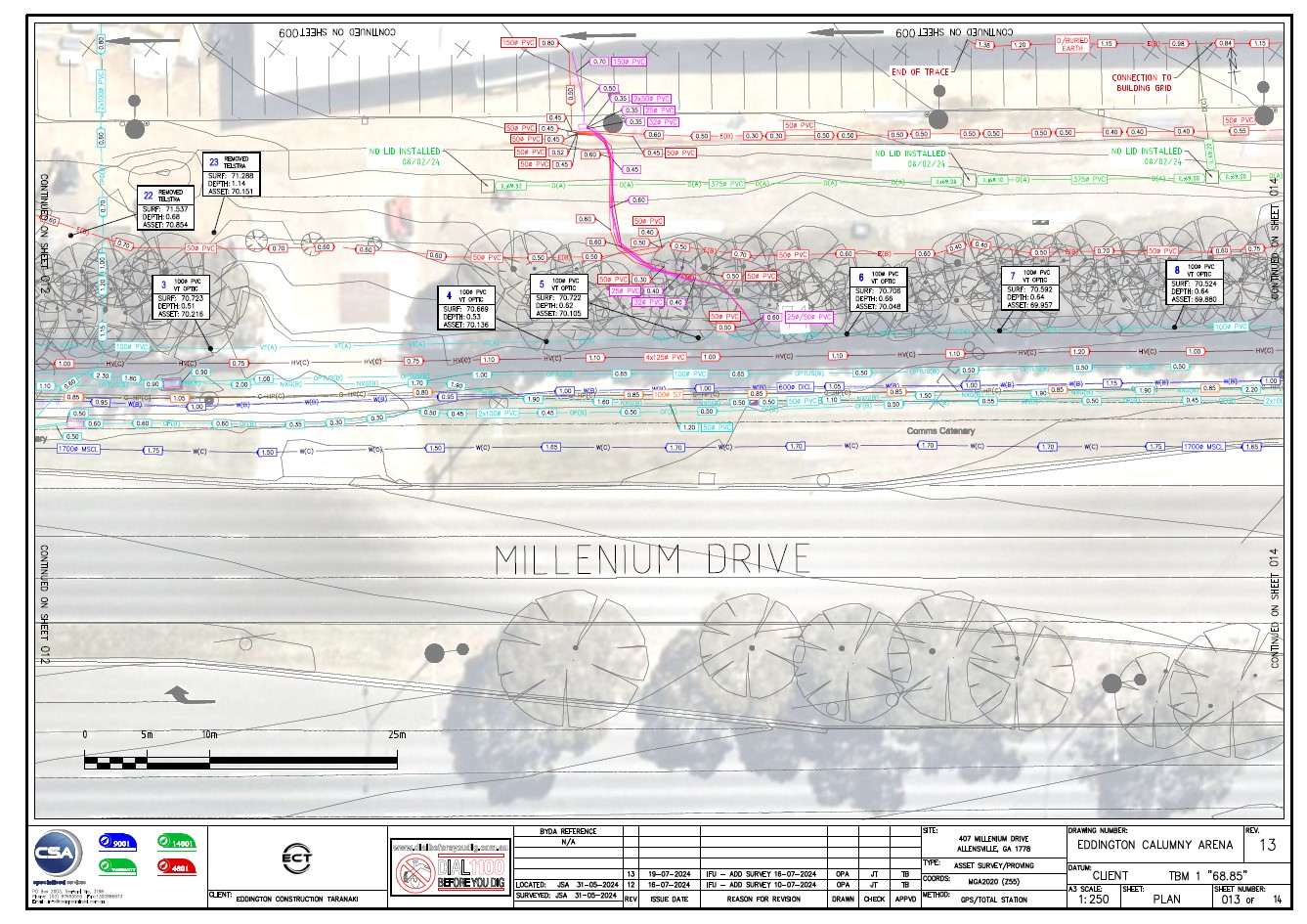
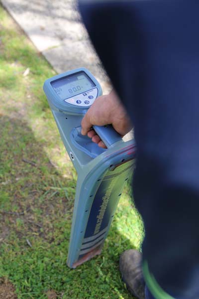
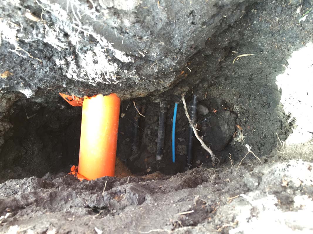
Underground utility mapping is done using a variety of techniques including records research, pipe and cable locators, GPR, sondes, CCTV video capture inspections and vacuum excavation.
An accurate Utility Mapping Survey will give you the confidence to progress with your project and guarantee there are no surprises. It also creates a better working environment for your employees as you are adhering to all health and safety regulations.
We at CSA Specialised Services can help you to identify ‘safe’ areas for excavation, and confirm the safest, and least disruptive route for proposed utilities. Utilising a variety of data sources, we create a complete map of your underground utility networks. Maps can be provided in a variety of formats, from sketches, to CAD to GIS data layers.

Ground Penetrating Radar, also referred to as GPR survey is a non-destructive technology that is used to map underground pipes and utilities. This technique is generally cost effective as it reduces traffic management expenses. The data acquisition is relatively fast and generates reliable results.
We at CSA Specialised Services have the expertise and equipment to make GPR a highly effective tool on your projects.
CSA can simplify your project’s utility relocation requirements by providing one central contact for all relocation efforts. Our professionals manage all of the utility processes and procedures associated with utility relocating, negotiating design adjustments, and minimizing relocation requirements.
We have the expertise to design a variety of utility infrastructure including water, sewer, telecommunications, electrical and gas. Whether it be new installations, relocations, or protection strategies let our experts help with your design needs.

CSA’s extensive utility experience provides us the expertise necessary to conduct an accurate survey of utility features including maintenance holes, pedestals, vaults, etc. Our Utility Engineers conduct both Total Station and GPS surveys, offering our clients a range of accuracy levels dependent on their requirements.
Our field crews have the experience you need to efficiently collect your utility asset inventory data. Comprehensive training allows our crews to access confined spaces and gather pipe sizes, invert measurements and all other asset inventory requirements. Information can then be processed as a CAD or GIS format.
